Yakima Training Center · Washington · LCNHT mainstem
Yakima Training Center
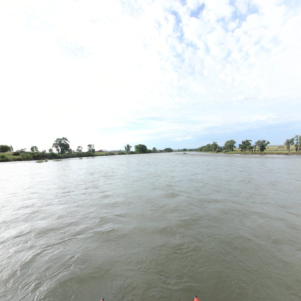
Sacajawea State Park, the 1805 Snake/Columbia camp.
Palouse Falls to Lyons Ferry · Snake River WA
Corridor narrative
Why protect this corridor.
Yakima Training Center sits between two LCNHT-anchor reaches: the free-flowing Hanford Reach of the Columbia and the Sacajawea State Park confluence where the Snake meets the Columbia, the Corps' October 1805 camp. The Yakima River Canyon (BLM) and the Tapteal Water Trail close the loop with another 57 miles of paddleable river.
The Palouse to Cascades State Park Trail physically crosses YTC for 23 miles under Army/State co-management, a natural existing partnership that would extend cleanly into a recreation-corridor capture. Cowiche Canyon and Rocky Top add hiking and MTB networks on the west side.
The Palouse to Cascades Trail's existing Army/State co-management agreement is the natural anchor for a buffer-protection partnership: easements along the trail corridor inside YTC's boundaries keep a historic rail trail publicly accessible while reducing encroachment pressure on the installation. Documenting the Hanford Reach, Yakima Canyon, and the Sacajawea State Park confluence with continuous 360° imagery builds the public-access record that supports both the trail-corridor protection case and the LCNHT interpretive program.
Lewis & Clark connection
Near-corridor on the Yakima and free-flowing Hanford Reach of the Columbia; direct LCNHT anchor at Sacajawea State Park (Snake/Columbia confluence, 1805 camp).
Near-corridor on the Yakima River and the free-flowing Hanford Reach of the Columbia; direct LCNHT anchor at Sacajawea State Park at the Snake/Columbia confluence, where the Corps camped in October 1805.
Palouse to Cascades State Park Trail physically crosses YTC (~23 mi Army/State co-managed) — a natural partnership fit.
See the ground
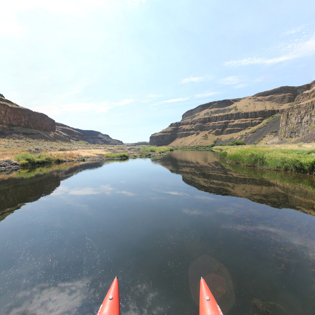
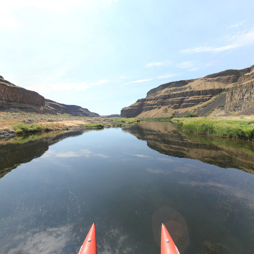
What's at stake, from the water: Palouse Falls to Lyons Ferry, Snake River WA.
Existing Terrain360 imagery from a nearby reach — a preview of the public-access value that buffer protection along the Yakima Training Center corridor would keep open.
The documentation layer
The record that backs the protection case.
Protecting the corridor is the goal; this is the documentation that supports it — baseline conditions and public-access value the partnership can reuse for REPI reporting, grant applications, and outreach.
Geo-referenced baseline dataset
Equirectangular panoramas + GPS tracks delivered to the installation INRMP team and the NPS Trail Office — documenting baseline conditions for REPI reporting, ESA Section 7, easement monitoring, and outreach.
Hosted 360° portal
Web-based interactive map showing pan-and-explore imagery of both riverbanks and every mapped trail. Mobile + desktop. Embeddable in any partner site.
Printable corridor maps
Asset index keyed to the imagery - suitable for visitor information, grant deliverable documentation, and partner co-branding.
L&C interpretive layer (optional)
Waypoint overlay tying the corridor to journal entries and historic sites - Tower Rock, Gates of the Mountains, the Falls portage, the Pacific arrival.
Asset inventory
What the corridor protects.
Each row is a recreation asset inside the buffer corridor — the public access and habitat a REPI/RARI easement would keep open.
| Recreation asset | Type | Miles | LCNHT | Access |
|---|---|---|---|---|
| Yakima River Canyon (BLM) ~25 mi | River | 27 | Near | Public |
| Hanford Reach National Monument (free-flowing Columbia) ~45 mi | River | 51 | Near | Public |
| Tapteal (Lower Yakima) Water Trail ~70 mi | River | 30 | Near | Public |
| Palouse to Cascades State Park Trail (crosses YTC) Crosses base | Trail | 23 | None | Public |
| Cowiche Canyon Trail System ~20 mi | Trail | 20 | None | Public |
| Snow Mountain Ranch (Cowiche) trails ~25 mi | Trail | 14 | None | Public |
| Rocky Top MTB singletrack ~20 mi | Trail | 15 | None | Public |
| Umtanum / Lmuma / Roza access sites (Yakima Canyon) ~25–35 mi | Access | - | Near | Public |
| White Bluffs Boat Launch (Hanford Reach) ~50 mi | Access | - | Near | Public |
| Sacajawea Historical State Park (Snake/Columbia confluence) ~80 mi | Access | - | Direct | Public |
Corridor map
Satellite view of the corridor footprint with the installation, its REPI buffer, and the recreation assets that protection keeps open.
The corridor up close