A DoD REPI + National Park Service initiative

Lewis & Clark 360.

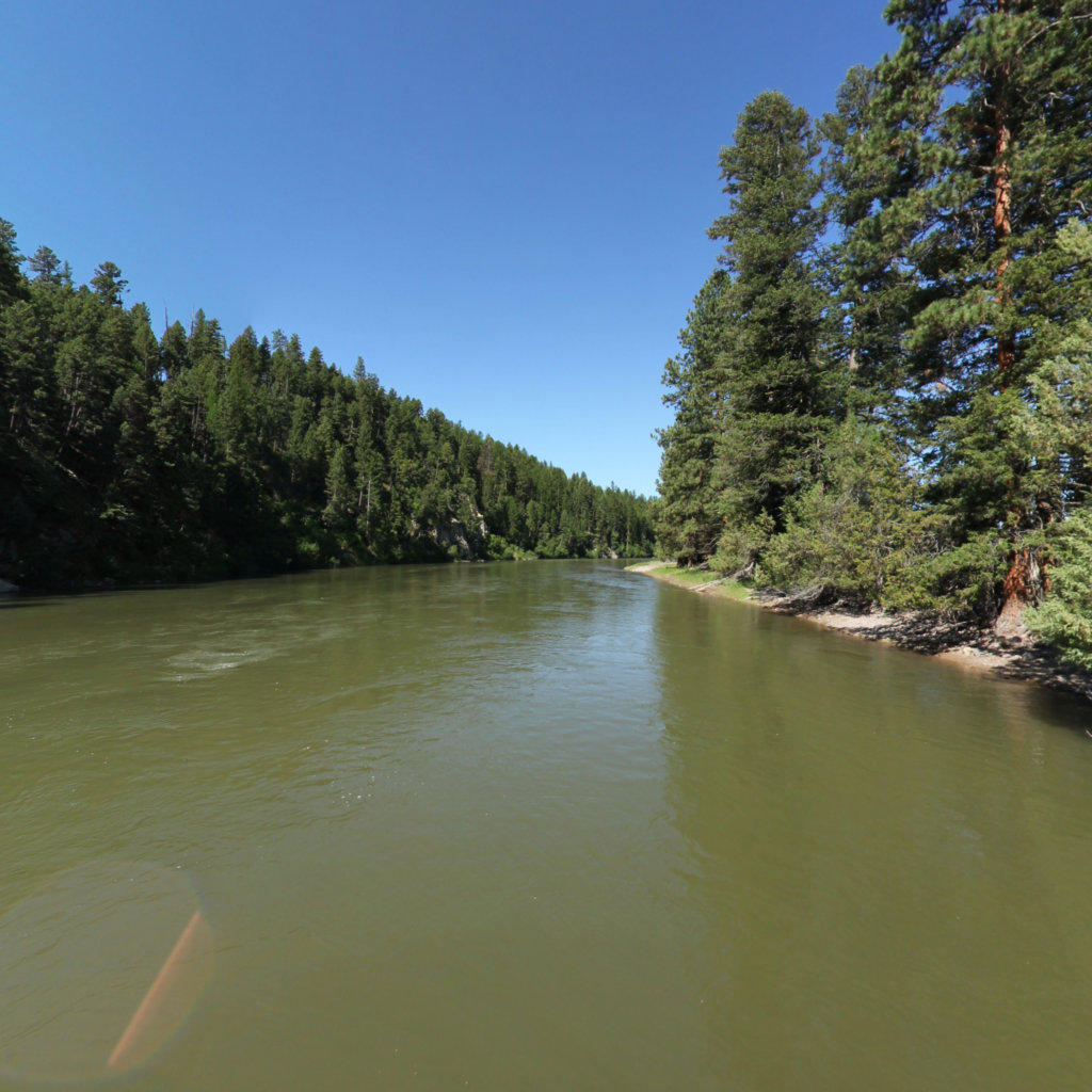
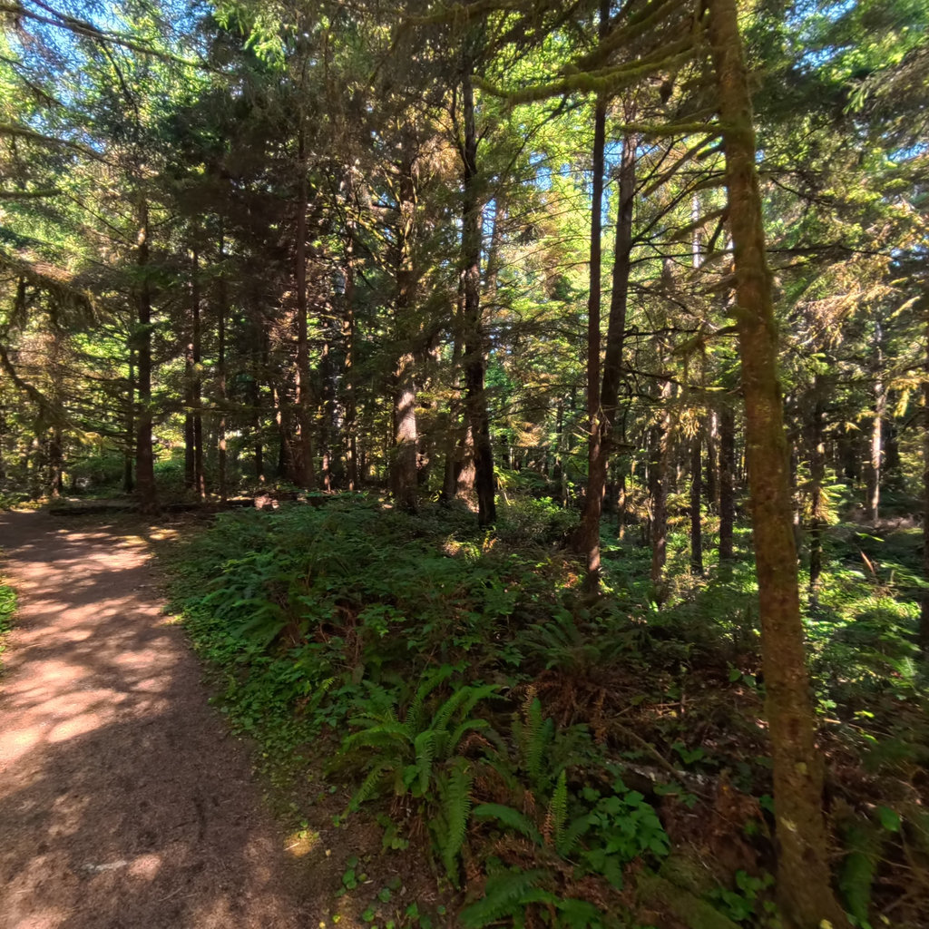
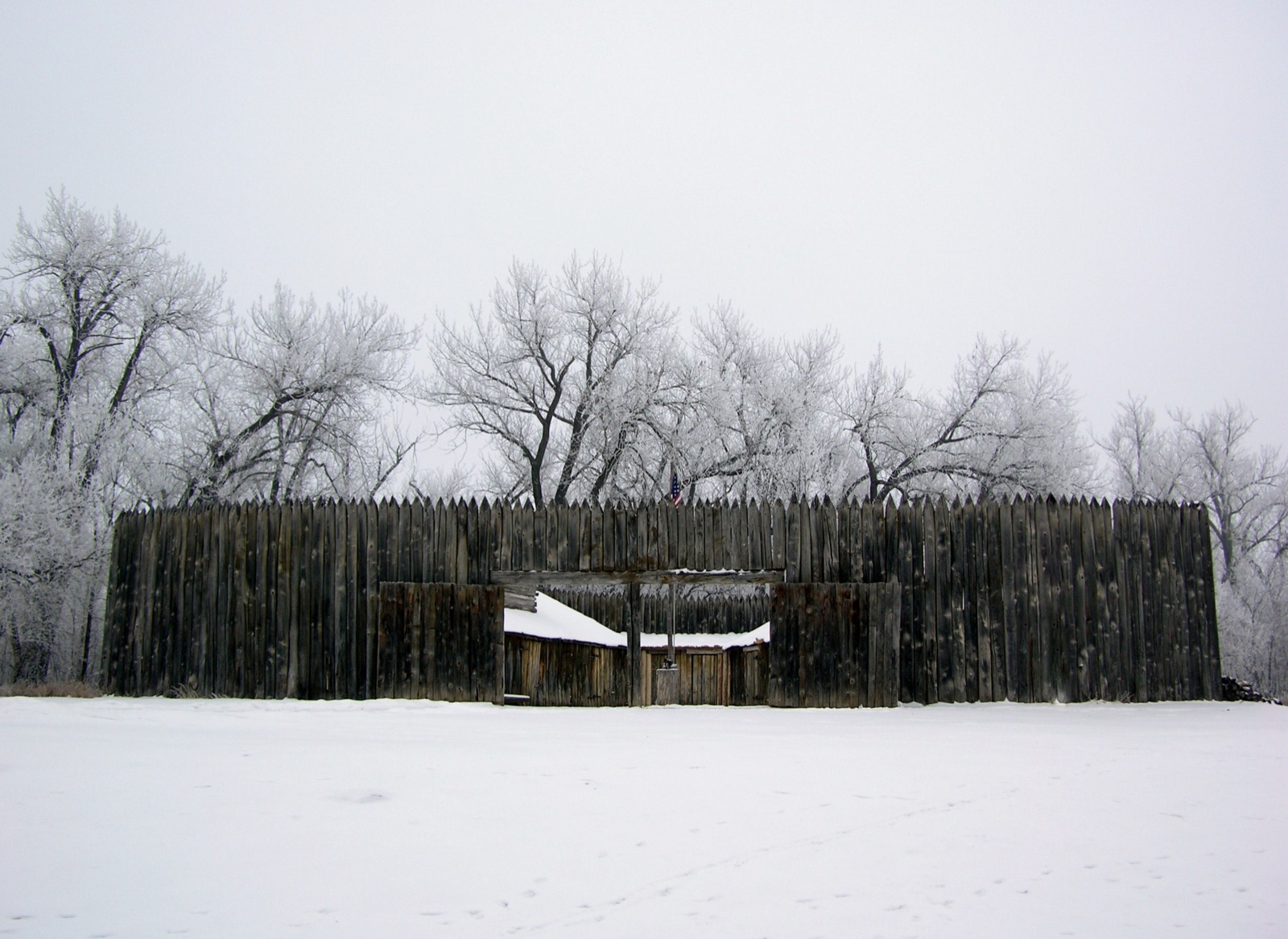
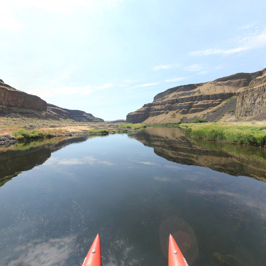
Immersive 360° mapping of public-recreation corridors at seven DoD installations on or near the Lewis & Clark National Historic Trail.

Seven installations. ~700 river miles, ~850 trail miles, twenty-four public access sites. One continuous, publicly viewable corridor of immersive imagery - paired with the conservation buffers that make these landscapes possible.

7
DoD installations
702
River miles
853
Trail miles
24
Public access nodes
80
Recreation assets
$2.19M
Total program estimate

Aggregated from per-installation planning estimates · figures are non-binding.

The program

A single deliverable across seven REPI partnerships.

The Lewis & Clark National Historic Trail is the longest narrative thread in American public lands - and along its 4,900 miles sit seven Department of Defense installations whose REPI (Readiness and Environmental Protection Integration) programs already work alongside conservation partners to protect adjacent landscapes from incompatible development.

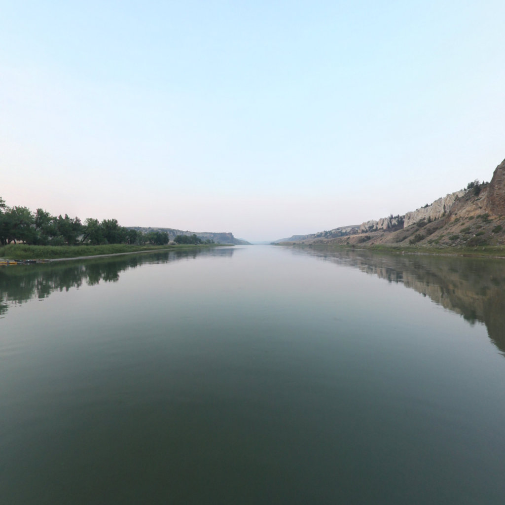
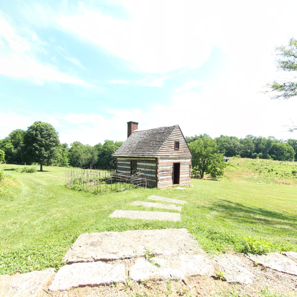
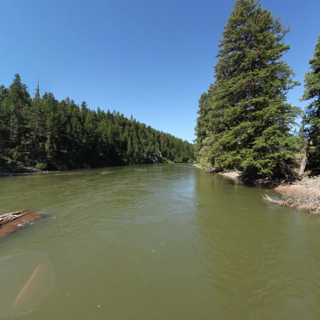
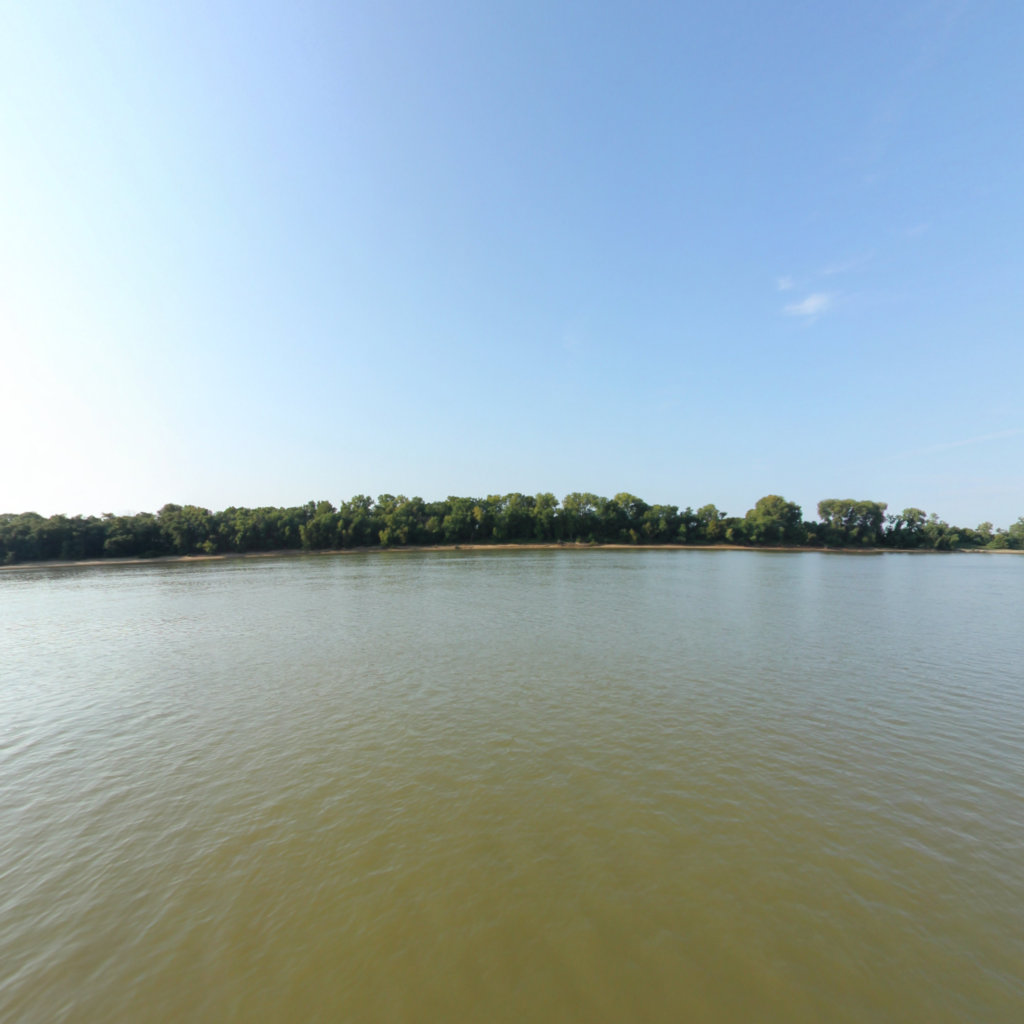
Lewis & Clark 360 unites those existing partnerships under a single deliverable: a continuous, both-bank 360° imagery record of every navigable river mile and every multi-use trail mile within the recreation corridors that connect installation buffers to public lands and historic-trail anchors.

Each installation receives a hosted, interactive 360° map portal showing its corridor. The NPS and DoD partners receive a geo-referenced imagery dataset for planning and outreach. The public receives a publicly accessible visual record of one of the most historically significant landscape networks in the country.

Deliverable

A public visual record

Continuous both-bank river capture and trail capture for every corridor - published as an interactive 360° map portal per installation, plus a program-wide master portal.

Deliverable

A planning dataset

Geo-referenced equirectangular panoramas + GPS tracks delivered to each installation INRMP team and NPS Trail Office, reusable for REPI reporting, ESA Section 7, and visitor planning.

Deliverable

A REPI / NPS partnership story

Printable corridor maps, an asset index keyed to imagery, and Lewis & Clark interpretive waypoints suitable for grant deliverable documentation and public-facing outreach.

Why this matters

$14.5M of recreation economy already moves through the Trail every year.

The 2024 LECL Economic Impact Study, commissioned by the National Park Service and the Lewis & Clark Trust, documented the visitor economy across five Lewis & Clark Trail sites. Public-recreation corridors at the seven REPI installations would feed directly into that documented visitor flow.

Read the LECL Economic Impact Study →

Sharp, Maples, Bogucki, Hicks (2024) · IMPLAN Type SAM multipliers · Five-site aggregate

$14.5M
Annual visitor expenditures
across 5 LCNHT sites (2023)
165,642
Visitors
44 states, 10 countries
195
Jobs supported
Midwest region
$7.49M
Labor income
IMPLAN economic modeling

National map

From the Falls of the Ohio to Cape Disappointment.

Every installation in the program plotted along the Lewis & Clark Trail. Click a marker for the corridor page.

Methodology

The capture is the deliverable - and it's reproducible.

Both-bank river capture by boat. Trail capture by backpack or UTV. Access-site 360 nodes anchored to existing signage. Each installation gets a hosted interactive portal - and the underlying dataset is delivered to its INRMP team and the NPS for reuse.

Both-bank river capture

Boat-mounted 360° rig captures equirectangular panoramas at fixed intervals along both banks of each navigable reach. Priced per river mile of capture.

Trail-mile capture

Backpack and UTV/OHV mounts cover hiking and motorized multi-use trails - exact rig matched to the trail surface and access regime.

Access-site 360 nodes

Fixed 360° captures at boat ramps, interpretive centers, and trailheads - anchored to NPS / state-park / BLM signage where present.

Hosted interactive portal

Each installation receives a hosted web portal - Mapbox base layer, type-colored asset markers, pan-and-explore imagery, mobile + desktop.

Read the full methodology →

Partners

Built on existing federal and conservation partnerships.

All partners →
Federal

National Park Service

Lewis & Clark NHT Office

Nonprofit

Lewis & Clark Trust

lewisandclarktrust.org

Federal

DoD REPI

Readiness & Environmental Protection Integration

Multi-state

State & local partners

Per-corridor coalition - TBD

Get involved

Talk to us about your installation.

INRMP managers, REPI coordinators, NPS Trail Office staffers, and state/local partners: tell us what would make Lewis & Clark 360 useful at your corridor.

Your message reaches Larry Calhoun (NPS Lewis & Clark NHT) and Ryan Abrahamsen (Terrain360). Expect a reply within a few business days.

Read the methodology →

Reaches the NPS team (Larry Calhoun) and Terrain360.