Offutt AFB · Nebraska · Lower Missouri LCNHT
Offutt Air Force Base
The first formal council with the Otoe, August 3, 1804.
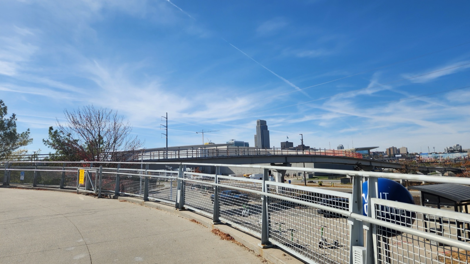
Downtown Omaha from Bob Kerrey Pedestrian Bridge · WiinterU (CC0)
Corridor narrative
Why protect this corridor.
Offutt Air Force Base — home of the 55th Wing and U.S. Strategic Command — sits three miles west of the Missouri River, fifteen miles south of the historic 'Council Bluff' where Lewis & Clark held their first formal council with Native leaders on August 3, 1804. The Otoe-Missouria delegation met the Corps at a bluff overlooking the river; Clark's journal entry that day is one of the foundational diplomatic moments of the entire expedition.
The corridor here is unusually dense in both history and recreation: the Lewis & Clark Monument in Council Bluffs marks the council site, Fontenelle Forest (one of the oldest urban-edge nature centers in the country) covers 2,000+ acres just north of the base, Boyer Chute National Wildlife Refuge offers paddleable Missouri side-channels, and the Bob Kerrey Pedestrian Bridge crosses the river between Omaha and Council Bluffs — a near-iconic anchor for corridor interpretation.
Offutt's adjacency to the Missouri River and its national-mission prestige (STRATCOM HQ + RC-135 Rivet Joint ISR) make it the highest-profile Phase 2 corridor. Keeping the Council Bluff reach and the largest urban-edge L&C interpretive cluster in the Missouri Valley open — through easements that tie the base's REPI footprint to the public corridor — protects readiness and recreation together; 360° imagery documents what protection secures.
Lewis & Clark connection
Directly on the LCNHT Missouri River corridor. ~15 mi south of the historic 'Council Bluff' where L&C held their first formal council with the Otoe (Aug 3, 1804). Host to USSTRATCOM HQ and the 55th Wing.
Directly on the LCNHT Missouri River corridor. The historic Council Bluff site — where Lewis & Clark held their first formal council with the Otoe-Missouria on August 3, 1804 — lies ~15 miles north of the base. The Lewis & Clark Monument (Iowa side) and Western Historic Trails Center (NPS-affiliated) interpret the council. The Lewis & Clark NHT Visitor Center in Nebraska City sits ~40 miles south.
The Bob Kerrey Pedestrian Bridge straddles the river between Omaha and Council Bluffs — a near-iconic anchor for corridor interpretation. Boyer Chute NWR and Fontenelle Forest deliver a dense recreation cluster.
See the ground
What's at stake, from the water: Ohio River, Evansville to Henderson.
Existing Terrain360 imagery from a nearby reach — a preview of the public-access value that buffer protection along the Offutt Air Force Base corridor would keep open.
The documentation layer
The record that backs the protection case.
Protecting the corridor is the goal; this is the documentation that supports it — baseline conditions and public-access value the partnership can reuse for REPI reporting, grant applications, and outreach.
Geo-referenced baseline dataset
Equirectangular panoramas + GPS tracks delivered to the installation INRMP team and the NPS Trail Office — documenting baseline conditions for REPI reporting, ESA Section 7, easement monitoring, and outreach.
Hosted 360° portal
Web-based interactive map showing pan-and-explore imagery of both riverbanks and every mapped trail. Mobile + desktop. Embeddable in any partner site.
Printable corridor maps
Asset index keyed to the imagery - suitable for visitor information, grant deliverable documentation, and partner co-branding.
L&C interpretive layer (optional)
Waypoint overlay tying the corridor to journal entries and historic sites - Tower Rock, Gates of the Mountains, the Falls portage, the Pacific arrival.
Asset inventory
What the corridor protects.
Each row is a recreation asset inside the buffer corridor — the public access and habitat a REPI/RARI easement would keep open.
| Recreation asset | Type | Miles | LCNHT | Access |
|---|---|---|---|---|
| Missouri River — Bellevue to Omaha reach Adjacent | River | 18 | Direct | Public |
| Missouri River — Council Bluff (L&C Monument) reach ~15 mi N | River | 14 | Direct | Public |
| Platte River — mouth to Hwy 31 (lower reaches) ~8 mi S | River | 12 | Near | Public |
| Boyer Chute NWR Missouri side-channel water trail ~30 mi N | River | 7 | Direct | Public (USFWS) |
| Lewis & Clark Monument Park trails (Council Bluffs) ~15 mi N | Trail | 4 | Direct | Public |
| Fontenelle Forest trail network ~6 mi N | Trail | 26 | Direct | Public (fee) |
| Lake Manawa State Park loop ~10 mi N | Trail | 9 | Near | Public |
| Bob Kerrey Pedestrian Bridge / Riverfront ~12 mi N | Access | - | Direct | Public |
| Bellevue Boat Ramp (Haworth Park) Adjacent | Access | - | Direct | Public |
| Western Historic Trails Center (Council Bluffs) ~15 mi N | Access | - | Direct | Public (NPS-affiliate) |
| Lewis & Clark NHT Visitor Center (Nebraska City) ~40 mi S | Access | - | Direct | Public |
Corridor map
Satellite view of the corridor footprint with the installation, its REPI buffer, and the recreation assets that protection keeps open.
The corridor up close