Malmstrom AFB · Montana · Upper Missouri LCNHT core
Malmstrom Air Force Base
The Great Falls portage, 18 miles that nearly ended the expedition.
Upper Missouri Breaks · Eagle Creek to Hole in the Wall
Corridor narrative
Why protect this corridor.
Malmstrom Air Force Base sits in the geographic heart of the Lewis & Clark Trail, the five-falls portage of the Missouri at Great Falls. The Corps of Discovery spent over a month in June and July 1805 hauling boats and supplies around the falls, in what Lewis called "the grandest sight I ever beheld."
The corridor today threads Black Eagle, Rainbow, Crooked, Horseshoe, and Great falls themselves, joined by the River's Edge Trail, a 57-mile multi-use spine along the Missouri through Great Falls. Upstream, the Smith River permit float and the Upper Missouri River Breaks National Monument (Fort Benton to Coal Banks) extend the LCNHT presence by another 100+ river miles of nationally significant landscape.
The Great Falls corridor is also Malmstrom's REPI buffer zone: easements with willing agricultural landowners between the installation and the river keep that ground open for public recreation and training alike. Protecting the River's Edge Trail connection and the portage reach from encroachment — through the same REPI partnership framework used at other corridor installations — preserves both the historic trail and the buffer in a single program action. Terrain360's existing Upper Missouri Breaks imagery demonstrates the documentation standard; the Great Falls reach would extend that record to the program's most historically significant LCNHT corridor.
Lewis & Clark connection
Directly on the LCNHT Missouri River corridor. Anchored by the Great Falls portage reach and the Lewis & Clark NHT Interpretive Center in Great Falls.
Directly on the LCNHT Missouri River corridor. Anchored by the Great Falls portage reach and the Lewis & Clark NHT Interpretive Center in Great Falls. Tower Rock, a landmark named by Lewis on July 16, 1805, sits in the corridor as a state park.
Heart of the historic five-falls portage. River's Edge Trail is a marquee multi-use asset along the Missouri.
See the ground
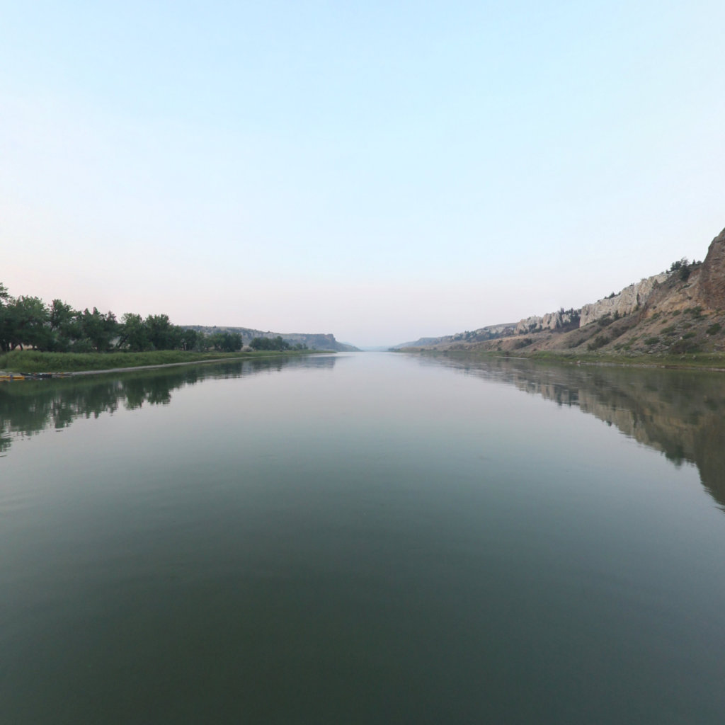
What's at stake, from the water: Eagle Creek to Hole in the Wall, Upper Missouri Breaks.
Existing Terrain360 imagery from a nearby reach — a preview of the public-access value that buffer protection along the Malmstrom Air Force Base corridor would keep open.
The documentation layer
The record that backs the protection case.
Protecting the corridor is the goal; this is the documentation that supports it — baseline conditions and public-access value the partnership can reuse for REPI reporting, grant applications, and outreach.
Geo-referenced baseline dataset
Equirectangular panoramas + GPS tracks delivered to the installation INRMP team and the NPS Trail Office — documenting baseline conditions for REPI reporting, ESA Section 7, easement monitoring, and outreach.
Hosted 360° portal
Web-based interactive map showing pan-and-explore imagery of both riverbanks and every mapped trail. Mobile + desktop. Embeddable in any partner site.
Printable corridor maps
Asset index keyed to the imagery - suitable for visitor information, grant deliverable documentation, and partner co-branding.
L&C interpretive layer (optional)
Waypoint overlay tying the corridor to journal entries and historic sites - Tower Rock, Gates of the Mountains, the Falls portage, the Pacific arrival.
Asset inventory
What the corridor protects.
Each row is a recreation asset inside the buffer corridor — the public access and habitat a REPI/RARI easement would keep open.
| Recreation asset | Type | Miles | LCNHT | Access |
|---|---|---|---|---|
| Missouri River — Great Falls reaches (dam to Cascade) 0–25 mi | River | 24 | Direct | Public |
| Missouri River — portage falls corridor (Black Eagle to Morony) 0–18 mi | River | 18 | Direct | Public |
| Sun River — lower reaches to Missouri confluence 0–20 mi | River | 20 | Near | Public |
| Smith River — Camp Baker to Eden Bridge ~60–90 mi SW | River | 59 | Near | Public (lottery permit) |
| Upper Missouri River Breaks — Fort Benton to Coal Banks ~40–90 mi NE | River | 42 | Direct | Public (BLM) |
| River's Edge Trail (Great Falls) In-city | Trail | 57 | Direct | Public |
| Giant Springs State Park loop ~3 mi | Trail | 2 | Direct | Public |
| Sulphur Springs Trail ~5 mi | Trail | 2 | Direct | Public |
| Lewis & Clark NHT Interpretive Center In-city | Access | - | Direct | Public (NPS) |
| Giant Springs State Park (access) ~3 mi | Access | - | Direct | Public |
| Upper Portage Overlook ~5 mi | Access | - | Direct | Public |
| Tower Rock State Park (named by Lewis, 1805) ~30 mi S | Access | - | Direct | Public |
| Pelican Point FAS (Cascade reach boat ramp) ~30 mi S | Access | - | Near | Public |
Corridor map
Satellite view of the corridor footprint with the installation, its REPI buffer, and the recreation assets that protection keeps open.
The corridor up close
What these lands look like today.
Paddle the Missouri
Terrain360 program platform for the Missouri River system, natural home for the Great Falls capture.
Open ↗
Upper Missouri River Breaks NM (interactive)
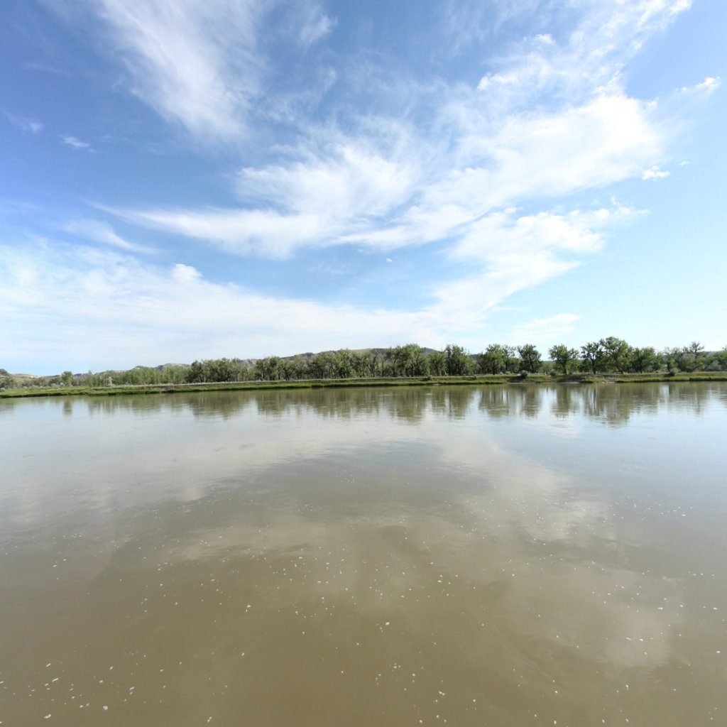
Live tour of the Fort Benton to Coal Banks reach.
Open ↗
Lewis & Clark Research
Tribal Nations mapping, companion interpretive layer.
Open ↗