Fairchild AFB · Washington · LCNHT return region
Fairchild Air Force Base
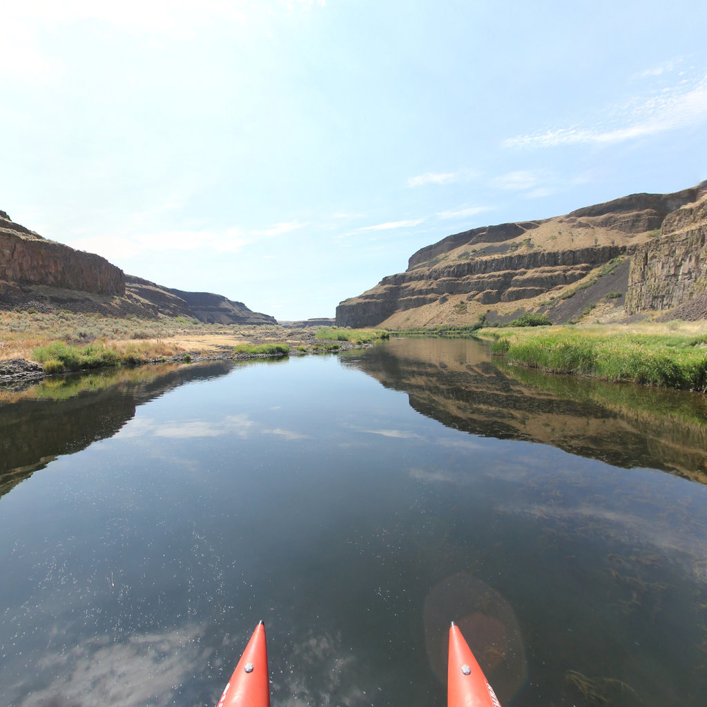
The Spokane River, L&C's return route, 1806.
Blackfoot River · Lewis & Clark Pass region · MT
Corridor narrative
Why protect this corridor.
Fairchild AFB sits west of Spokane on the Spokane River system, territory the Corps of Discovery passed through on the 1806 return journey. The integrated cluster of Riverside State Park, the 40-mile Centennial State Park Trail, and Lake Spokane forms an unusually clean river + trail + access bundle within 15 miles of the installation.
Lake Roosevelt National Recreation Area (Columbia River) and the Columbia Plateau Trail State Park extend the corridor outward; Lake Roosevelt's Spokane Arm alone offers 50 mappable shoreline miles under NPS management. Mount Spokane State Park adds a large hiking/Nordic trail network, and Fishtrap Recreation Area brings BLM trails into the inventory.
Fairchild's REPI buffer designation provides the protection framework: willing-seller easements on agricultural and open lands between the installation and the Spokane River keep the recreation corridor open and reduce encroachment in a single program action, following the same model the Prickly Pear Land Trust partnership established in Montana. Continuous 360° imagery of the Spokane River, Centennial Trail, and Lake Roosevelt Spokane Arm documents those protected lands for REPI reporting and strengthens the case for the next round of easements.
Lewis & Clark connection
L&C passed through the region on the return journey. Near-corridor assets on the Spokane River and Lake Roosevelt (Columbia).
L&C passed through the region on the return journey of 1806. Near-corridor assets on the Spokane River and Lake Roosevelt (the Columbia behind Grand Coulee).
Riverside State Park and the Spokane River Centennial Trail offer an integrated river + trail + access cluster close to the base.
See the ground
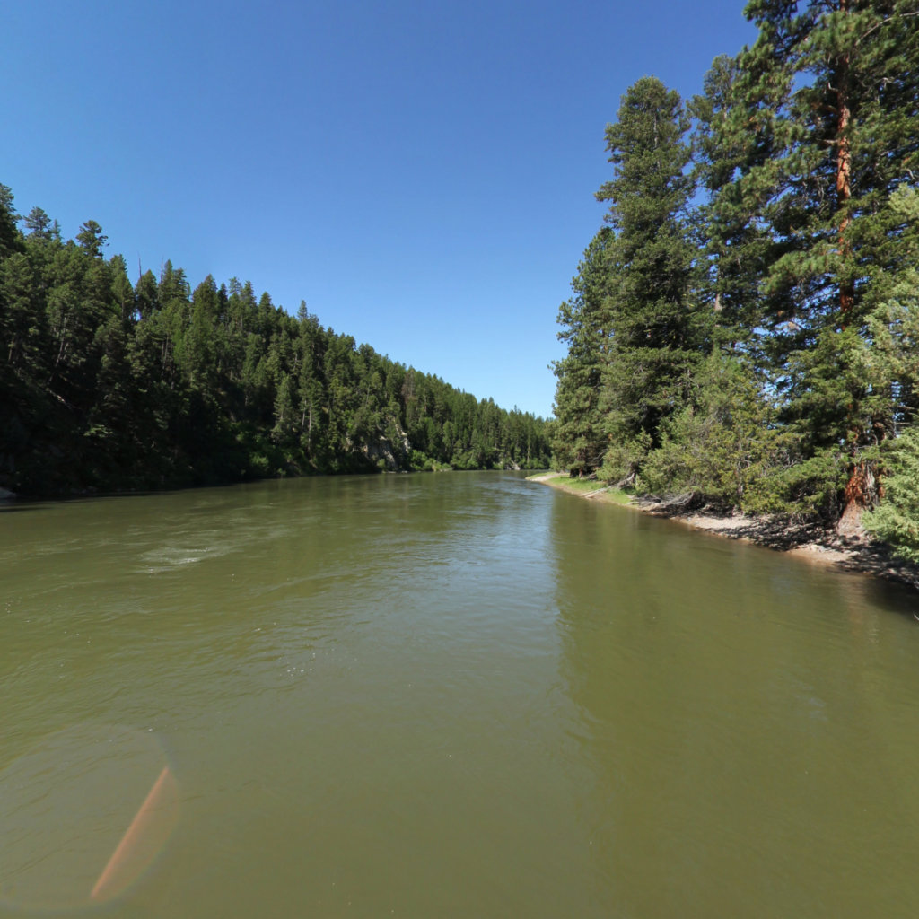
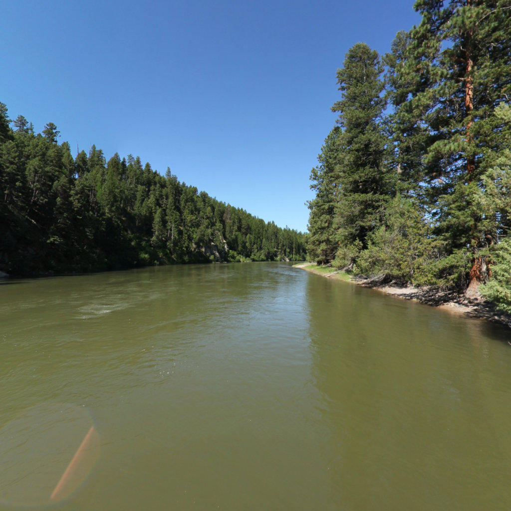
What's at stake, from the water: Clearwater to Dunnigan Gulch, Blackfoot River MT.
Existing Terrain360 imagery from a nearby reach — a preview of the public-access value that buffer protection along the Fairchild Air Force Base corridor would keep open.
The documentation layer
The record that backs the protection case.
Protecting the corridor is the goal; this is the documentation that supports it — baseline conditions and public-access value the partnership can reuse for REPI reporting, grant applications, and outreach.
Geo-referenced baseline dataset
Equirectangular panoramas + GPS tracks delivered to the installation INRMP team and the NPS Trail Office — documenting baseline conditions for REPI reporting, ESA Section 7, easement monitoring, and outreach.
Hosted 360° portal
Web-based interactive map showing pan-and-explore imagery of both riverbanks and every mapped trail. Mobile + desktop. Embeddable in any partner site.
Printable corridor maps
Asset index keyed to the imagery - suitable for visitor information, grant deliverable documentation, and partner co-branding.
L&C interpretive layer (optional)
Waypoint overlay tying the corridor to journal entries and historic sites - Tower Rock, Gates of the Mountains, the Falls portage, the Pacific arrival.
Asset inventory
What the corridor protects.
Each row is a recreation asset inside the buffer corridor — the public access and habitat a REPI/RARI easement would keep open.
| Recreation asset | Type | Miles | LCNHT | Access |
|---|---|---|---|---|
| Spokane River Water Trail ~15 mi | River | 40 | Near | Public |
| Lake Roosevelt NRA (Columbia) — Spokane Arm ~60–70 mi | River | 50 | Near | Public (NPS) |
| Lake Spokane (Riverside SP) shoreline ~25 mi | River | 12 | Near | Public |
| Spokane River Centennial State Park Trail ~15 mi | Trail | 40 | Near | Public |
| Riverside State Park trails (Bowl & Pitcher) ~15 mi | Trail | 13 | Near | Public |
| Columbia Plateau Trail State Park ~25 mi | Trail | 40 | Near | Public |
| Fishtrap Recreation Area (BLM) trails ~25 mi | Trail | 8 | None | Public |
| Mount Spokane State Park trails ~45 mi | Trail | 50 | None | Public |
| Nine Mile Falls Recreation Area (boat launch) ~20 mi | Access | - | Near | Public |
| Fort Spokane / Porcupine Bay launches (Lake Roosevelt) ~60 mi | Access | - | Near | Public |
Corridor map
Satellite view of the corridor footprint with the installation, its REPI buffer, and the recreation assets that protection keeps open.
The corridor up close