Minot AFB · North Dakota · LCNHT core
Minot Air Force Base
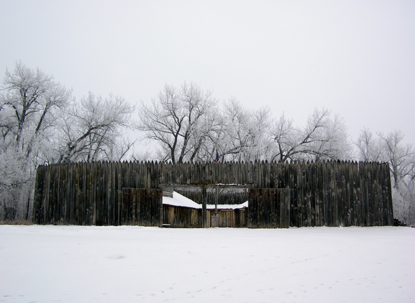
Sacagawea joined the Corps at Knife River, November 1804.
Fort Mandan reconstruction · Gooseterrain2 (CC BY-SA 3.0)
Corridor narrative
Why protect this corridor.
Minot Air Force Base anchors the most historically dense stretch of the Lewis & Clark Trail outside the Great Falls portage. Fort Mandan — where the Corps wintered 1804-05 and where Sacagawea joined the expedition — sits ~55 miles south of the base. The Knife River Indian Villages National Historic Site, a Hidatsa and Mandan settlement complex where Sacagawea actually lived, lies ~70 miles south.
The corridor itself is a continuous ribbon of L&C-direct recreation assets: Lake Sakakawea (the impounded Missouri), Lake Audubon NWR, Cross Ranch State Park, Fort Stevenson State Park, and the North Country National Scenic Trail's Lake Sakakawea segment all sit inside the same Phase 2 footprint. Knife River Indian Villages NHS is NPS-managed; Fort Mandan is state-park-interpreted with a Lewis & Clark Interpretive Center.
Minot's REPI footprint — protecting the buffer lands between the installation, the missile fields, and the public corridor along Lake Sakakawea — is the program action that keeps the Fort Mandan and Knife River reaches accessible and undeveloped. Easements with willing landowners along the Garrison reach secure that ground against encroachment; 360° documentation of the corridor gives REPI managers, NPS interpreters, and the public a continuous record of what the protection keeps open across the expedition's most historically significant winter-quarters reach.
Lewis & Clark connection
~55 mi NW of Fort Mandan (L&C 1804-05 winter quarters near Washburn). The Knife River Indian Villages NHS — where Sacagawea joined the Corps — sits ~70 mi south. Dual-mission base: 5th Bomb Wing (B-52H) + 91st Missile Wing (Minuteman III).
Directly on the LCNHT Missouri River corridor. Fort Mandan (1804-05 winter quarters) lies ~55 miles south; Knife River Indian Villages NHS (where Sacagawea joined the expedition) sits ~70 miles south. Garrison Reach of the Missouri, Lake Sakakawea, and Lake Audubon NWR all sit inside the corridor footprint.
ND's L&C narrative is the strongest of any phase 2 candidate — Fort Mandan winter quarters, Knife River Sacagawea site, and the entire Lake Sakakawea / Garrison Reach are all within the corridor footprint.
See the ground
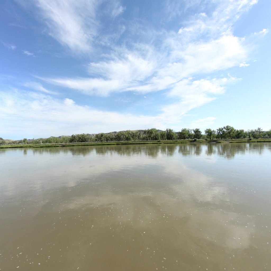
What's at stake, from the water: Eagle Creek to Hole in the Wall, Upper Missouri.
Existing Terrain360 imagery from a nearby reach — a preview of the public-access value that buffer protection along the Minot Air Force Base corridor would keep open.
The documentation layer
The record that backs the protection case.
Protecting the corridor is the goal; this is the documentation that supports it — baseline conditions and public-access value the partnership can reuse for REPI reporting, grant applications, and outreach.
Geo-referenced baseline dataset
Equirectangular panoramas + GPS tracks delivered to the installation INRMP team and the NPS Trail Office — documenting baseline conditions for REPI reporting, ESA Section 7, easement monitoring, and outreach.
Hosted 360° portal
Web-based interactive map showing pan-and-explore imagery of both riverbanks and every mapped trail. Mobile + desktop. Embeddable in any partner site.
Printable corridor maps
Asset index keyed to the imagery - suitable for visitor information, grant deliverable documentation, and partner co-branding.
L&C interpretive layer (optional)
Waypoint overlay tying the corridor to journal entries and historic sites - Tower Rock, Gates of the Mountains, the Falls portage, the Pacific arrival.
Asset inventory
What the corridor protects.
Each row is a recreation asset inside the buffer corridor — the public access and habitat a REPI/RARI easement would keep open.
| Recreation asset | Type | Miles | LCNHT | Access |
|---|---|---|---|---|
| Missouri River — Garrison Dam to Washburn (Fort Mandan reach) ~55 mi S | River | 35 | Direct | Public |
| Lake Sakakawea — Fort Stevenson SP shoreline ~45 mi S | River | 40 | Direct | Public |
| Lake Audubon shoreline (Audubon NWR) ~45 mi S | River | 28 | Direct | Public (USFWS) |
| Knife River — Knife River Indian Villages NHS reach ~70 mi S | River | 8 | Direct | Public (NPS) |
| Souris (Mouse) River — Minot urban reach ~10 mi N | River | 15 | None | Public |
| Cross Ranch State Park trails ~70 mi S | Trail | 16 | Direct | Public |
| Fort Stevenson State Park trails ~45 mi S | Trail | 8 | Direct | Public |
| North Country NST — Lake Sakakawea segment ~45 mi S | Trail | 22 | Direct | Public |
| Lewis & Clark Interpretive Center / Fort Mandan (Washburn) ~55 mi S | Access | - | Direct | Public (state) |
| Knife River Indian Villages NHS visitor center ~70 mi S | Access | - | Direct | Public (NPS) |
| Garrison Dam tailrace & boat ramp ~50 mi S | Access | - | Direct | Public (USACE) |
| Fort Stevenson State Park launch ~45 mi S | Access | - | Direct | Public |
Corridor map
Satellite view of the corridor footprint with the installation, its REPI buffer, and the recreation assets that protection keeps open.
The corridor up close
What these lands look like today.
Paddle the Missouri
Terrain360's Missouri River platform — direct fit for the Fort Mandan reach.
Open ↗
Upper Missouri River Breaks (interactive)
Existing Missouri-corridor capture reference (upstream in Montana).
Open ↗
Lewis & Clark Research
Tribal Nations mapping (Mandan, Hidatsa) for the Knife River villages.
Open ↗